Laguna Beach Flood Zones, Bluff Erosion & Coastal Hazard Disclosure: What Buyers Should Check Before Closing.
California law requires sellers to disclose when a Laguna Beach property sits in a mapped flood zone, fire-hazard area, or several other hazard categories. What it does not do is translate that disclosure into plain English, or tell you that a bluff-edge survey dispute can shrink a lot's buildable area from a full building envelope down to under 5%. This guide covers Laguna Beach flood zones, landslide and liquefaction risk, the city's live bluff-setback debate, and the paperwork a buyer should actually read before removing contingencies.
This is a companion to two existing guides on this site: the El Niño 2026–27 winter-preparedness guide covers what homeowners should do before storms arrive, and the Laguna Beach Home Insurance guide covers fire coverage and the FAIR Plan. This page fills the gap between them: the flood-map, bluff, and disclosure questions neither one answers.
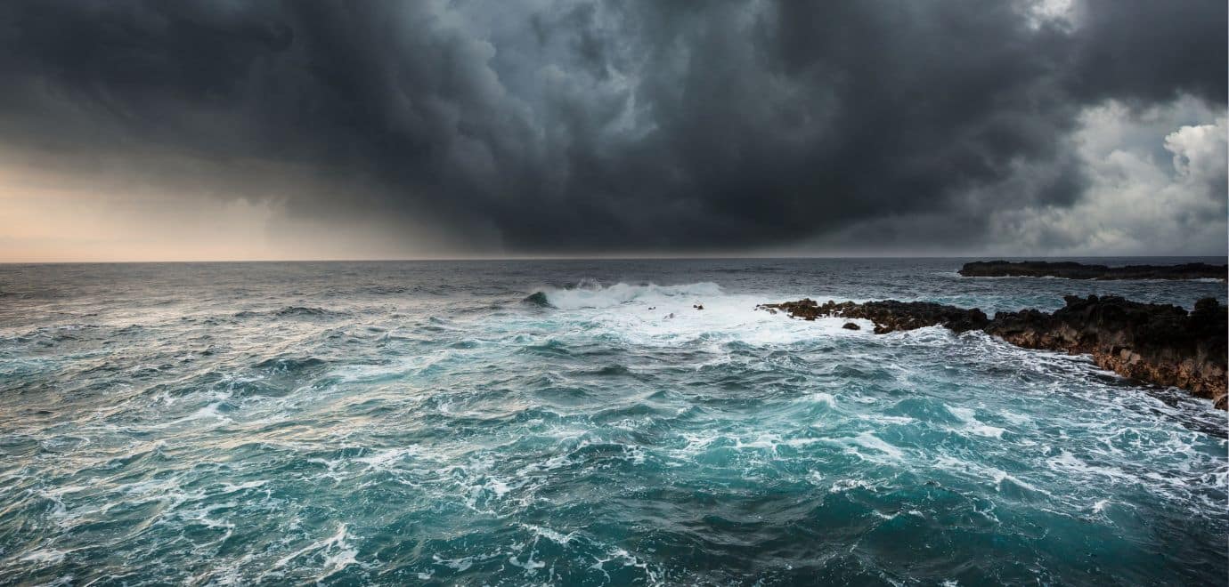
This year's El Niño is really doing a number on several local beaches here in Laguna Beach, and on quite a few houses too. Aliso Creek beach is a disaster right now. Main Beach has a giant sand wall built up in front of it. Some stretches — like the run between Bluebird Beach to the north and Mountain Road Beach to the south — are pretty much just rock at this point. The Surf and Sand hotel has visible damage, and there are homes around town sitting red-tagged as I write this.
I've lived here 26 years, and I have never seen it quite this bad. We've come close once or twice — not like this, though. And here's the part that should get your attention if you're buying, selling, or already own here: we haven't even gotten into the real winter storm season yet.
That's the backdrop for everything below. The flood maps, the setback rules, and the disclosure law aren't abstract paperwork — they're describing exactly the kind of damage I'm watching happen in real time this season.
California Civil Code §1103 requires disclosure of six specific hazard-zone categories, including Laguna Beach flood zones mapped by FEMA, when a home is sold.
Minimum stringline setback for primary structures on coastal bluff lots under the certified Land Use Element — now under City Council review.
California's 2024 guidance range for potential statewide sea-level rise by 2100, used in current Coastal Commission review of Laguna Beach projects.
Most Laguna Beach storm drains are sized for a 26-year flood event. Some canyon drains handle up to a 100-year event, capacity permitting.
What Does "Hazard Disclosure" Actually Mean in a Laguna Beach Sale?
If a Laguna Beach property sits in a FEMA Special Flood Hazard Area (Zone A or V), a dam-failure inundation area, a Very High Fire Hazard Severity Zone, an earthquake fault zone, a seismic hazard zone, or a state wildland fire responsibility area, the seller — and any agent involved — must disclose it using the standard NHD form, or a licensed professional's report in its place.
The disclosure must go to the buyer "as soon as practicable" before the sale closes. If it arrives late, the buyer can cancel within three days in person or five days by mail. Waivers of this right are void. Critically, the statement itself says it is not a warranty and isn't part of the purchase contract — it tells you what the maps say, not whether a specific loss will happen or be covered.
Notice what the NHD form does not cover: landslide risk, liquefaction risk, coastal bluff erosion, and sea-level rise projections are not on the state's six-category list. A Laguna Beach property can have real, well-documented exposure to all four and still generate a "No" across the board on the standard disclosure form, because none of those hazards has its own mandatory statewide checkbox. That gap is exactly why buyer-side due diligence matters here more than the form alone suggests.
For the full text of what must be disclosed, who must disclose it, and what remedies exist for late or missing disclosure, see California Civil Code §1103. A licensed engineer, geologist, land surveyor, or natural-hazard expert can prepare a report in place of the standard form, as long as it's accompanied by a signed statement.
Is My Laguna Beach Home in a Flood Zone?
The City of Laguna Beach's own Safety Element is blunt about this: "Flooding is a recurring event in Laguna Beach." Most of the city's storm drains are sized for a 25-year storm. The drains at Boat Canyon and Bluebird Canyon are designed to handle up to a 100-year flood, but debris can reduce that capacity. The Laguna Canyon flood-control channel — the route most water takes toward the ocean through downtown — can carry only an estimated 5% to 43% of a 100-year flood's volume, depending on the segment.
City GIS, FEMA Map Service Center, or a Call to Staff
The City says residents and buyers can look up a property's flood zone through its GIS system or by asking Planning staff directly, rather than guessing from a national flood map. Cross-check against the FEMA Flood Map Service Center for the official Flood Insurance Rate Map (FIRM) panel.
Can Lower Your Insurance Premium
If a prior owner had an Elevation Certificate prepared, it's typically kept in the City's address files. It documents the property's elevation relative to the Base Flood Elevation and can meaningfully reduce flood insurance premiums. Ask the City — and the seller — whether one already exists before paying for a new one.
A LOMA Can Formally Correct the Map
If you believe FEMA's map incorrectly places a specific parcel inside a Special Flood Hazard Area, a Letter of Map Amendment (LOMA) is the formal correction process. It requires hydrological evidence and sign-off from a licensed surveyor or engineer — not just an opinion that "it never floods here."
Old and New Flood Maps May Not Agree
Orange County's current vertical datum (NAVD 88) differs from older FEMA mapping by roughly 2.34 feet countywide. If you're comparing an older flood study to a current one, that gap alone can look like a property's risk changed when the surveying reference point simply did.
Commercial properties and structures inside a mapped Special Flood Hazard Area also fall under the City's floodproofing rules (Municipal Code Chapter 25.38): removable flood barriers at doors and windows set at least six inches above the Base Flood Elevation, a written Contingency Floodproofing Measures Plan, and an annual installation drill — the City's own guidance even specifies practicing it on the last Monday in October, ahead of the wet season.
Which Parts of Laguna Beach Carry Elevated Landslide Risk?
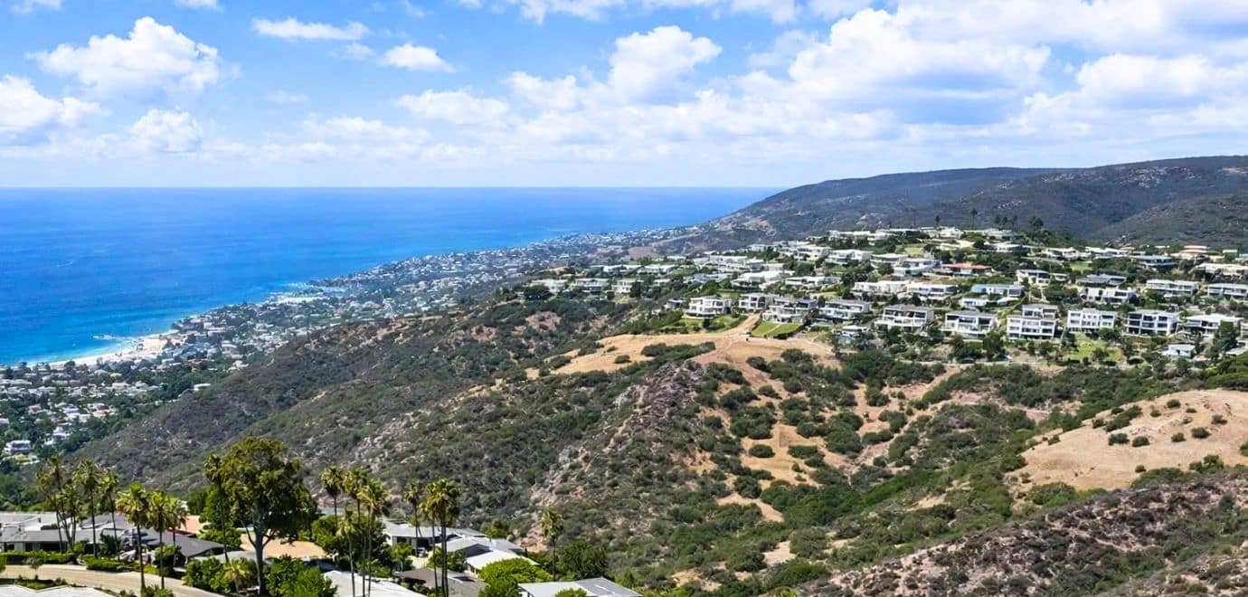
The City's Safety Element maps landslide risk as highest at canyon bottoms and along canyon slopes — specifically both sides of Laguna, Bluebird, and Aliso canyons, the area north of the Temple Hill neighborhood, and many coastal bluffs. A separate, earthquake-triggered risk category flags the hills above Irvine Cove, Boat Canyon, and the Skyline Drive neighborhood as high risk during a seismic event specifically. Liquefaction risk — ground that temporarily behaves like liquid under strong shaking — is noted at the beaches and in canyon areas, including where Pacific Coast Highway crosses below Emerald Canyon.
California Geological Survey records this as the original large slope failure in Bluebird Canyon, setting off a multi-year engineering response.
State records describe emergency repair operations continuing into the mid-1980s as engineers worked to stabilize the canyon.
Roughly 350 homes were evacuated and 15 were damaged or destroyed — the clearest proof that canyon slope failure in Laguna Beach is a recurring hazard, not a one-time historical footnote.
Canyon slopes, the Temple Hill area, and the earthquake-triggered zones above Irvine Cove, Boat Canyon, and Skyline Drive remain mapped as high or very-high risk under current City analysis.
For the fuller September 2026 timeline of coastal erosion, emergency declarations, and the homes affected on Ocean Way and Lagunita Drive, see the El Niño winter-preparedness guide — this page focuses on the standing hazard maps and disclosure questions rather than re-running that storm timeline.
I'll add this from personal observation rather than any map: the stretch between Bluebird Beach to the north and Mountain Road Beach to the south is pretty much just rock right now, not sand. That's not a hazard-zone designation, it's just what I've seen walking it this season — but it's a useful reminder that the same canyon and bluff forces behind the official risk maps above are actively reshaping the coastline in front of us this year.
Coastal Bluff Erosion and Laguna Beach's Live Setback Debate
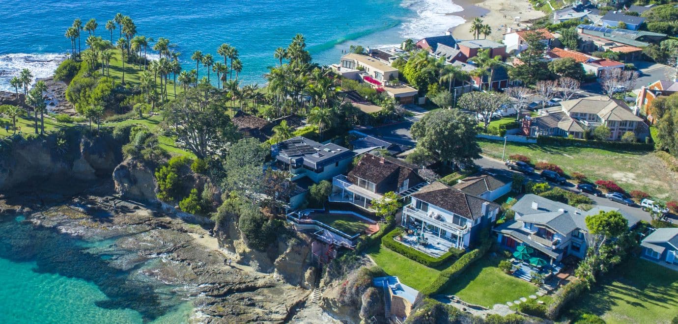
The City's certified Land Use Element requires a minimum 25-foot stringline setback for primary structures on coastal blufftop lots, and 10 feet for minor accessory structures (LUE Actions 10.2.7 and 10.2.8, consistent with blufftop protection policy under Resolution 89.104). The "stringline" method draws the setback relative to neighboring development, not a fixed distance from the current bluff edge — which matters, because the bluff edge itself keeps moving.
Separately, City rules generally prohibit new shoreline protective devices (seawalls, revetments) that would harm the natural sand supply, with a narrow emergency exception for structures in imminent danger, and require a Coastal Development Permit for shoreline work. The City's preferred long-term alternative is sand replenishment rather than hard armoring.
A 2026 California Coastal Commission appeal over a proposed home at 31451 Coast Highway shows how much a bluff-edge determination can swing a project. The applicant's geologist placed the bluff edge at the 57-foot mean-sea-level contour; the Commission's own staff geologist placed it at the 115-foot contour — mostly landward of where the house was designed to sit. Applying the Commission staff's line would leave only about 4.7% of the lot as buildable, versus a much larger envelope under the applicant's reading. Staff ultimately recommended approval with 15 conditions, including removing a floor and recording a view-corridor deed restriction, partly to avoid an unconstitutional "taking" of all economic use of the lot.
The lesson for a buyer: on a blufftop lot, "where exactly is the bluff edge" is not a formality. Get your own geotechnical read before assuming a listing's described buildable area is accurate.
Four areas of Laguna Beach — Irvine Cove, Blue Lagoon, Hobo Canyon, and Three Arch Bay — remain under deferred Local Coastal Program certification, meaning their coastal permitting framework isn't fully finalized the way the rest of the certified LCP is. If you're buying in one of these enclaves, ask specifically how that affects permitting timelines and requirements; don't assume the standard citywide rules apply unmodified. For general context on these neighborhoods, see the Irvine Cove neighborhood guide and the Three Arch Bay beach guide.
Match Your Property Type to the Right Due-Diligence Checklist
The hazard questions worth asking change sharply depending on where in Laguna Beach a property sits. Use this tool to generate a focused starting checklist. It's a planning aid for a conversation with professionals, not a substitute for a parcel-specific geotechnical, survey, or title review.
Choose the Property That Looks Most Like the One You're Considering
If a property spans more than one category — for example, a blufftop home above a canyon — review both.
Start with the bluff edge, the setback, and shoreline structures.
Ocean exposure adds a layer of permitting and erosion questions a standard inspection doesn't cover.
Laguna Beach Hazard-Reference Map
This map plots Laguna Beach flood zones, landslide areas, bluff-erosion corridors, and tsunami zones named in the City's Safety Element and recent Coastal Commission filings — by category, not by exact parcel. It's an orientation tool to help you ask the right question about the right part of town, not a substitute for a parcel-level FEMA, City GIS, or geotechnical lookup on the exact address you're considering.
Explore Flood, Landslide, Bluff, and Tsunami Reference Areas
Filter by hazard type, then open the official source document behind each area. Pin placement is approximate and for orientation only.
Sea-Level Rise and Tsunami Exposure: Who Is Actually Affected?
California's 2024 state sea-level rise guidance — the same guidance cited in current Coastal Commission review of Laguna Beach projects — projects a statewide rise of 1.0 to 6.6 feet by 2100, and 0.6 to 6.3 feet specifically at the Los Angeles tide gauge, depending on future emissions. The City's own Safety Element maps a 66-inch (5.5-foot) inundation scenario by 2100 in Figure S-7.
In practice, most Laguna Beach development sits above the bluffs and is protected from direct inundation even under higher-end scenarios. The exposure concentrates on Main Beach Park and any buildings with lower levels near beach grade. The City tracks this with annual king-tide and high-tide monitoring, pre-set thresholds for triggering new sea-level rise analysis if inundation creeps further inland, a requirement that new shoreline development model its own sea-level rise exposure, and a policy to expand flood-control capacity to account for rising seas over time.
You don't have to wait for a 2100 projection to see this playing out. As of this season, Main Beach has a genuinely massive sand wall built up in front of it, Aliso Creek beach is in rough shape, and the Surf and Sand hotel has taken real, visible damage. In 26 years here, I've never seen a season hit the shoreline this hard, this early — and winter storm season hasn't even started. Long-range sea-level rise and this year's El Niño are two different things on paper, but they're pointing the same direction, and that's worth sitting with if you're evaluating anything near beach grade.
A tsunami could inundate all Laguna Beach beaches. Near Main Beach, modeled inundation could reach inland as far as the area between Broadway and Forest Avenue, and travel up Aliso Creek as far inland as The Ranch at Laguna Beach.
This is a mapped, modeled scenario — not a prediction of an imminent event. It's listed here because it's part of the same City hazard-mapping framework (Figure S-8) that also covers flood and landslide risk, and because low-lying, near-creek, or near-beach buyers sometimes aren't aware it exists at all.
Buyer Due-Diligence Checklist: Flood, Landslide, Bluff & Disclosure
These are the practical items worth confirming before contingencies expire — not reasons to assume an entire neighborhood is risky or safe. Risk in Laguna Beach is property-specific, and the paperwork trail is usually there if you know to ask for it.
| Ask / Inspect | Why It Matters | Who May Help |
|---|---|---|
| Natural Hazard Disclosure Statement | State law requires disclosure of six specific hazard-zone categories, including FEMA flood zones. It's a floor, not a complete hazard picture. | Listing agent; transferor; licensed hazard-report provider |
| Laguna Beach flood zones for the exact parcel | City GIS and the FEMA Map Service Center can confirm the current designation; a LOMA can formally correct a disputed boundary. | City Planning/GIS staff; licensed surveyor or engineer |
| Existing Elevation Certificate | Can lower flood insurance premiums and may already be on file with the City. | City address files; licensed surveyor |
| Bluff edge determination & setback compliance | Stringline setback math depends on contour interpretation. A disputed edge can shrink buildable area dramatically — see the 31451 Coast Highway case above. | Licensed geologist or engineer; City Planning; Coastal Commission |
| Landslide or liquefaction zone per Safety Element maps | Canyon slopes, Temple Hill, and the Irvine Cove/Boat Canyon/Skyline Drive earthquake-triggered zone carry documented elevated risk. | Geotechnical engineer |
| Deferred LCP certification status | Irvine Cove, Blue Lagoon, Hobo Canyon, and Three Arch Bay operate under a coastal permitting framework that isn't fully finalized elsewhere in the LCP. | City Planning; California Coastal Commission |
| Sea-level rise / tsunami exposure for the address | Mostly relevant for low-lying, near-creek, or near-beach properties rather than elevated or blufftop homes. | City GIS (Figures S-7/S-8); Coastal Commission sea-level rise maps |
| Insurance quote on the exact address, including flood | Standard homeowners insurance typically excludes flood; flood coverage is a separate policy with its own waiting period. | Licensed insurance agent or broker |
A One-Afternoon Hazard-Check Routine
Before you waive a contingency on a Laguna Beach property, spend one afternoon running through the paper trail: pull the NHD statement, confirm the parcel's status among Laguna Beach flood zones on the City's GIS and FEMA's map service center, ask whether an Elevation Certificate exists, and get an actual insurance quote on the exact address. For blufftop or canyon lots, add a licensed geotechnical opinion before you assume the listed buildable area is accurate.
- NHD Statement
- FEMA Zone Lookup
- Elevation Certificate
- Bluff Setback Math
- Insurance Quote
For renovation or expansion questions that come up during due diligence on a hazard-flagged lot, see the Laguna Beach remodeling and permit guide. For the broader lifestyle tradeoffs of different parts of town, use the Laguna Beach Neighborhood Guide.
A bluff-edge survey, a geotechnical opinion, a LOMA application, or a flood-insurance quote all require a licensed professional, not a guess from a listing description. Browse the Local Experts directory for professionals who work with Laguna Beach buyers and homeowners on exactly these questions.
Laguna Beach Flood Zones & Coastal Hazard Disclosure FAQ
Do sellers have to disclose Laguna Beach flood zones when selling a home?
Yes, as part of California's statewide Natural Hazard Disclosure Statement under Civil Code §1103. If a property sits in a FEMA Special Flood Hazard Area (Zone A or V), that must be disclosed, along with five other hazard categories. The statement is not a warranty and isn't part of the purchase contract — it reflects what the maps say at the time.
Is my home inside one of the mapped Laguna Beach flood zones?
Check the City's GIS system or ask Planning staff directly, and cross-reference the FEMA Flood Map Service Center for the official panel. The City's Safety Element notes that flooding is a recurring event citywide, and that most storm drains are sized for a 25-year storm rather than a larger event.
What is a Letter of Map Amendment (LOMA)?
It's the formal FEMA process to correct a flood zone designation you believe is inaccurate for a specific parcel. It requires hydrological evidence and sign-off from a licensed surveyor or engineer — simply believing a property doesn't flood isn't sufficient documentation on its own.
What is the Laguna Beach "Bluff Overlay District"?
It's a proposed city ordinance, still moving through the approval process as of this writing, that would relax the standard 25-foot blufftop setback required under the certified Land Use Element. The City Council voted 4-1 to move it forward; critics argue an environmental review hasn't yet been completed. Check the current City Council agenda for its live status before relying on any specific setback number.
Why did a recent bluff-edge dispute matter so much for one Laguna Beach property?
In a 2026 Coastal Commission appeal over a proposed home at 31451 Coast Highway, the applicant's geologist and the Commission's staff geologist placed the bluff edge roughly 58 feet apart in elevation — a difference that would have shrunk the buildable portion of the lot from a standard envelope down to about 4.7%. It's a concrete example of why a buyer should get an independent read on a blufftop lot's bluff edge rather than trusting a listing description.
Which areas of Laguna Beach have elevated landslide risk?
The City's Safety Element flags the slopes of Laguna, Bluebird, and Aliso canyons, the area north of Temple Hill, and many coastal bluffs under normal conditions, plus the hills above Irvine Cove, Boat Canyon, and Skyline Drive specifically during an earthquake. Bluebird Canyon has a documented landslide history in 1978 and again in 2005.
Does homeowners insurance cover flood or landslide damage?
Generally no. Standard homeowners policies typically exclude flood damage, and coverage can differ further for mudflow, landslide, and other earth-movement causes. See the Laguna Beach Home Insurance guide and confirm exclusions on any specific policy with a licensed agent.
How much could sea-level rise affect Laguna Beach by 2100?
California's 2024 state guidance projects 1.0 to 6.6 feet of statewide rise by 2100, and 0.6 to 6.3 feet at the Los Angeles tide gauge specifically, depending on future emissions. The City's own Safety Element models a 66-inch scenario. Most development sits above the bluffs and is largely protected; exposure concentrates on Main Beach Park and low-lying buildings near beach grade.
What should I check before buying a blufftop or canyon property in Laguna Beach?
At minimum: the Natural Hazard Disclosure Statement, the property's confirmed FEMA flood zone, whether an Elevation Certificate exists, an independent bluff-edge or slope-stability opinion where relevant, the area's landslide/liquefaction designation, deferred-LCP-certification status if applicable, and an actual insurance quote — including flood — on the exact address.
Keep Researching the Property, Not Just the View
Use these guides to connect flood zones, bluff erosion, landslide risk, and disclosure requirements to the bigger questions of buying, owning, and living in Laguna Beach.
Sources Used for This Guide
- California Civil Code §1103: Natural Hazard Disclosure Statement
- City of Laguna Beach: Draft Safety Element (flood, landslide, bluff, sea-level rise, tsunami mapping)
- City of Laguna Beach: Flood Insurance, Floodplain & FEMA Process FAQ
- Laguna Beach Municipal Code Chapter 25.38: Floodplain Management
- California Coastal Commission: Staff Report, Appeal A-5-LGB-24-0018 (31451 Coast Highway) — February 2026
- California Ocean Protection Council / Coastal Commission: 2024 State Sea-Level Rise Guidance
- California Department of Conservation (CGS): Bluebird Canyon Landslide Records, 1978–1998
- Laguna Beach Indy: "Council's 'Bluff Overlay District' Is a Slippery Slope" (opinion)
- FEMA Flood Map Service Center
Fact-check note: Hazard maps, city policy proposals (including the Bluff Overlay District), and Coastal Commission case outcomes change. This article was researched in November 2026. Before acting on time-sensitive information, verify current City of Laguna Beach, FEMA, and California Coastal Commission guidance.
Property note: This guide is general information, not engineering, geotechnical, legal, insurance, or real-estate advice. Conditions and designations can differ substantially from one parcel to the next.
Send this hazard-disclosure guide to a Laguna Beach buyer, agent, or homeowner.